The City of Logan is home to some incredible Mountain Bike trails! Whether it’s in Daisy Hill, Cornubia or Spring Mountain, there are plenty of quality trails catering to riders of all skill levels and experience.
Trails listed on this website are owned and managed by City of Logan.
Before heading out on a ride, assess your riding experience, fitness, and stamina. Be honest with yourself about your experience and abilities.
When selecting mountain bike trails to ride, it is important to match your skill level to the trail difficulty. Riding a trail that is too difficult for your skill level can be dangerous and lead to injury.
Use this information as a guide to make informed decisions about which trails to ride.
We recommend downloading a mobile app like Trailforks to view trail conditions and locations before you ride them.
Ride safety
Tracks and trails have riding hazards such as steep downhills, drainage humps and loose surfaces.
- Limit your speed when riding downhill
- Approach drainage humps slowly
- Only ride on trails that suit your cycling abilities
- Be aware that riding conditions can change after wet or windy weather. Check the Bureau of Meteorology website before heading out
- Please check the Logan City Council Facebook page for updates on trail status.
In an emergency phone Triple Zero (000), or 112 when out of reception.
Ride responsibly
Keep tracks in good condition by not riding during or immediately after wet weather. If your tread sinks 2 centimetres into the trail, you're doing damage!
- Always wear a helmet and appropriate safety gear
- Wear adequate sun and insect protection and carry enough drinking water
- Avoid skidding and sliding around turns and downhill to prevent collisions and minimise trail damage
- Respect areas closed to riding.
- Ride on open trails only
- Keep group rides to fewer than 12 people, if possible
- Ride according to trail conditions.
Trail difficulty rating
- Easy: Wide trail with gentle gradient and some obstacles. Suitable for beginner mountain bikers with off-road bikes and basic skills.
- Intermediate: Single trail with moderate gradient, obstacles and some steep sections. For skilled mountain bikers.
Designated use classification
- Multi-use: This trail is multi-use and suitable for walkers, mountain bikers and horse riders.
Visit the Trailforks map for location.
| Trail name |
Trail length |
Trail difficulty |
| Billabong Trail |
780 metres |
 Easy Easy |
Visit the Trailforks map for location.
| Trail name |
Trail length |
Trail difficulty |
| New Disco |
632 metres |
Easy |
| Ironbark Trail |
723 metres |
Easy |
Visit the Trailforks map for location.
| Trail name |
Trail length |
Trail difficulty |
| Nirvana |
2.2 kilometres |
 Difficult Difficult |
Neville Lawrie Reserve is a treasured part of South East Queensland’s bushland network, offering a rich blend of natural beauty, recreational opportunity and cultural significance. Located adjacent to the well-known Daisy Hill Conservation Park, the reserve forms an integral part of the Koala Bushland Coordinated Conservation Area (KBCCA) - a regionally important corridor that connects Daisy Hill Conservation Park, Don and Christine Burnett Conservation Area, and other protected lands across jurisdictional boundaries. This interconnected network supports vital koala habitat and provides over 100 km of shared-use trails for mountain biking, walking, trail running, and horse riding.
Download the Neville Lawrie Reserve Trail map(PDF, 717KB) to explore the mountain bike trails, tracks, and key features. It’s your guide to an awesome ride!
Visit the Trailforks map for location.
| Trail name |
Trail length |
Trail difficulty |
| Sleepy Hollow |
350 metres |
 Intermediate Intermediate |
| Koala Link |
160 metres |
Intermediate |
| Gillian's |
560 metres |
Intermediate |
| Glider |
2.4 kilometres |
Intermediate |
| Grass Tree East |
792 metres |
Intermediate |
| Koala |
1.1 kilometres |
Intermediate |
| Ripley's |
2.2 kilometres |
Intermediate |
Visit the Trailforks map for location.
| Trail name |
Trail length |
Trail difficulty |
| Red Ash Trail |
520 metres |
Intermediate |
Help protect the bushland by taking the steps below.
- Stay on marked trails and roads. Shortcutting causes erosion and damages vegetation and trails.
- Take your rubbish with you when you leave.
- Remember everything is protected. Do not take or disturb plants or animals.
- Let animals find their own food. Human food can make native animals susceptible to disease and cause annoying or aggressive behaviour.
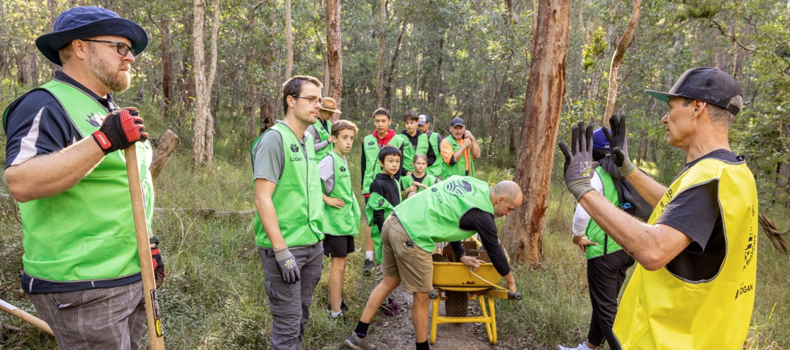
As Council adds improved mountain bike trails to the area, there are more ways to volunteer. If you like conserving and enhancing trails, consider joining TrailCare. To get involved please visit Park volunteers.